
Eagle Pass ZIP Codes at a Glance
The documented Eagle Pass postal listing has two entries, 78852 and 78853. Their shared Eagle Pass label does not make them interchangeable. The standard-delivery area has a broad reach into nearby Maverick County places, while the secondary ZIP is associated with post-office-box service. Check the complete address with USPS before using either label in a records request or in a search that needs a physical parcel.
| ZIP code | Areas covered or postal city | Post office or station | Local note |
|---|---|---|---|
| 78852 | Eagle Pass standard delivery area, including portions of Eidson Road, Rosita, Elm Creek, Chula Vista, Las Quintas Fronterizas, Radar Base, Seco Mines, Fabrica, Siesta Acres, El Indio, and Rosita South | Eagle Pass, TX 78852 | Large rural and edge area; its boundary is not the Eagle Pass city limit |
| 78853 | Eagle Pass secondary or post-office-box service | USPS label-list evidence groups it with Eagle Pass, TX 78852 | Confirm delivery type for the exact address before treating it as a physical location |
The postal distinction matters because 78852 reaches named rural and edge communities beyond the municipal line. An Eagle Pass mailing label can therefore appear on a county parcel that is not inside the incorporated city. Conversely, city and county record systems may use a situs or legal description instead of a postal code.
Read Eagle Pass Postal Lines
The official USPS label-list evidence groups 78852 through 78853 under EAGLE PASS TX 78852. Research describes 78853 as a secondary, post-office-box-oriented ZIP, but no live official result for a specific Eagle Pass address was captured. Treat that description as a working postal distinction, not as proof that every 78853 entry is a separate place or a physical residence.
Postal codes are routing tools. They are not a city-boundary map, an appraisal account, or a neighborhood list. Eagle Pass has city-limits, zoning, flood-hazard, thoroughfare, and historic-preservation layers, but those planning layers are not USPS boundaries. A reliable ZIP reference keeps the postal line alongside the address components and checks jurisdiction separately.
Verify Eagle Pass ZIP Plus Four
The official USPS address lookup is the right check for one delivery address. Enter the complete street number, street name, city, and state, then retain the returned ZIP+4 and delivery-point result with the access date. If it returns no match, test the city line, directional, street type, and unit separately. Compare a remaining mismatch with the CAD situs and the city-limits map rather than guessing from a third-party map.
| USPS input | Why it matters | What to preserve |
|---|---|---|
| Street number and street name | Distinguishes an exact delivery point from a broad ZIP area | Returned standardized street form |
| City and state | Tests the postal city line used by USPS | Whether USPS accepts or changes the city label |
| Directional, street type, and unit | Can resolve a failed or ambiguous address | Any corrected ZIP+4 or delivery result |
The USPS lookup is visible in this official USPS source.
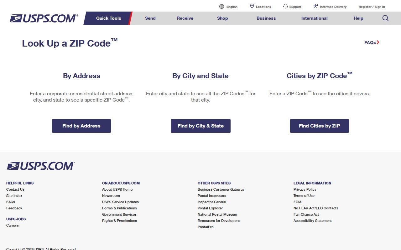
The captured form confirms the address-first verification route, even though this run did not capture a live Eagle Pass delivery result.
Search Eagle Pass Records by ZIP
A ZIP narrows a postal area, but most local records do not offer a simple ZIP-wide resident search. Begin by checking the exact delivery ZIP with USPS. Then use the record type that fits the question. The appraisal search works from address, owner, and parcel identifiers. The city map layers explain city context. Formal election-record requests use county and precinct filters. This sequence avoids treating a broad postal area as a single official roster.
- Verify the full delivery address and ZIP+4 in the USPS tool, including any directional, street type, or unit.
- Use the Maverick CAD property search with its street, owner, Property ID, Geographic ID, subdivision, or neighborhood fields. Save the situs and legal description.
- Check the city's planning maps for city-limits, zoning, flood, thoroughfare, or historic-designation context. Do not treat those map layers as postal boundaries.
- If voter information is relevant, use the individual status tool for its documented purpose or request the appropriate county or precinct data under the state process.
- After the ZIP is narrowed to one named street, use the Eagle Pass street directory for the parcel, plat, and deed sequence.
This is a postal-search workflow, not a claim that everyone who shares a ZIP appears in one database. County parcels, municipal services, and postal delivery use different geographic systems.
Note: A ZIP match confirms postal routing, not city incorporation, parcel ownership, or the identity of a person at an address.
Eagle Pass CAD Has No ZIP Filter
The inspected Maverick CAD form did not expose a postal-code field. Its available routes include owner name, Street Number, Street Name, Property ID, Geographic ID, property type, tax year, and advanced fields such as subdivision and neighborhood. For a ZIP area, work from a verified street address or a manually compiled set of streets, then retain the parcel identifiers. Do not claim that CAD can return an entire Eagle Pass ZIP-area list with one ZIP query.
| CAD path | Useful ZIP-area task | Limit |
|---|---|---|
| Street Number and Street Name | Find a parcel after USPS confirms its delivery address | No ZIP field was shown |
| Owner Name | Find appraisal accounts for a known owner | Mailing address is not proof of physical residence |
| Property ID or Geographic ID | Preserve an exact parcel across deed and plat work | Identifiers are parcel-specific, not ZIP-wide |
| Subdivision or Neighborhood | Sort a local collection of parcels | Does not replace a USPS ZIP boundary |
CAD also instructs users to omit prefixes, suffixes, and unit numbers from the Street Name field. Preserve those components in the postal address, but simplify the CAD query if a formatted search fails.
Use Eagle Pass Voter Data by Precinct
The Texas My Voter Portal is an individual tool, not a ZIP browse. It uses VUID and date of birth, Texas driver's-license number and date of birth, or a name route that requires county, date of birth, and ZIP. Its purpose is to confirm an individual's registration status, polling place, and related information. It does not authorize a public list of names for a ZIP.
For a broader request, the state's seven-page Form 24-1 can be reduced by Texas mailing address, county, precinct, effective dates, and certain other choices. It requires a notarized noncommercial-use affidavit, a $75 deposit, full payment before release, and a request process governed by Election Code sections 18.066 through 18.067. Protected residence addresses remain excluded. The Maverick County Elections Administrator is the local registrar and is listed at 501 E. Main Street, Suite B, Eagle Pass.
Bridge Eagle Pass ZIPs With Legal Descriptions
When a postal label shifts or an address is incomplete, the legal description is the durable bridge. Maverick CAD uses Property ID, Geographic ID, Owner ID, and labels such as subdivision, lot, block, tract, or abstract. A recorded deed or plat can preserve those details even when an address is absent or a historic source uses a different place name. The County Clerk's land records can then be searched by legal fields, volume and page, instrument number, name, or date range.
For an Eagle Pass ZIP search, retain the house number, prefix or suffix, street name and type, unit, postal city, ZIP, CAD situs, Property ID, Geographic ID, and legal description. This lets a later researcher reproduce a search without silently changing a postal address into a city-jurisdiction claim.
Map Eagle Pass ZIP Context
The Eagle Pass Forms, Links, and Maps page provides the official city zoning ArcGIS link and maps for city limits, special flood hazard areas, thoroughfares, and historic preservation. Use these as separate layers. A property can have an Eagle Pass postal address and still lie in unincorporated Maverick County. CAD provides the county parcel context; the planning map supplies municipal context; USPS confirms delivery.
No official countywide public parcel viewer with confirmed owner popups was located. The city zoning map should not be described as a parcel-ownership map, and no official USPS ZIP split or realignment year was found. Those gaps are reasons to verify an exact address with the custodians, not reasons to infer a boundary.
Eagle Pass ZIPs Are Not City Limits
A postal-city name and an incorporated-city boundary answer different questions. ZIP 78852 reaches rural and edge communities, while 78853 is a secondary service associated with Eagle Pass. When city jurisdiction matters, compare the CAD situs with the city-limits layer. When county property jurisdiction matters, use the appraisal account and recorded legal description. When delivery matters, use USPS. This division keeps a postal directory from overstating what a postal label means.
- ZIP
- A postal routing area. It can cross city or county lines and does not define municipal jurisdiction.
- ZIP+4
- The extra four digits USPS assigns to refine delivery for a particular address or delivery segment.
- PO-box ZIP
- A ZIP used for post-office-box service. It should not be assumed to describe a physical residence.
- Carrier route
- A postal delivery grouping used by the mail system, not a neighborhood or city-boundary line.
Boundary check. Preserve the postal ZIP and the CAD situs separately. A postal label is useful for routing, while the recorded parcel and city-limits map answer different location questions.
Note: No official ZIP realignment year, E911 readdressing project, or street-quadrant guide was located for Eagle Pass, so historic address changes require a deed, plat, Sanborn sheet, or other verified source.